
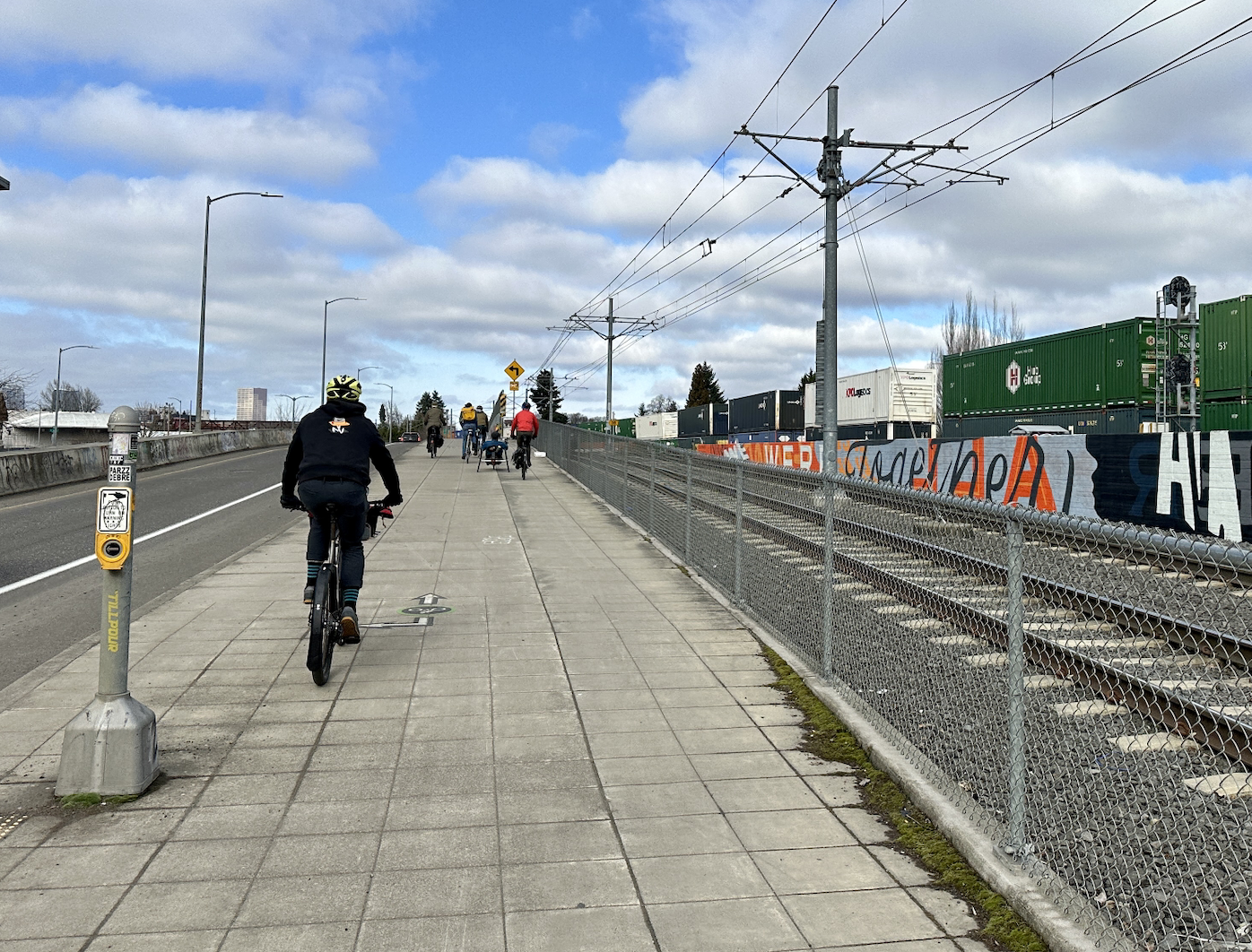
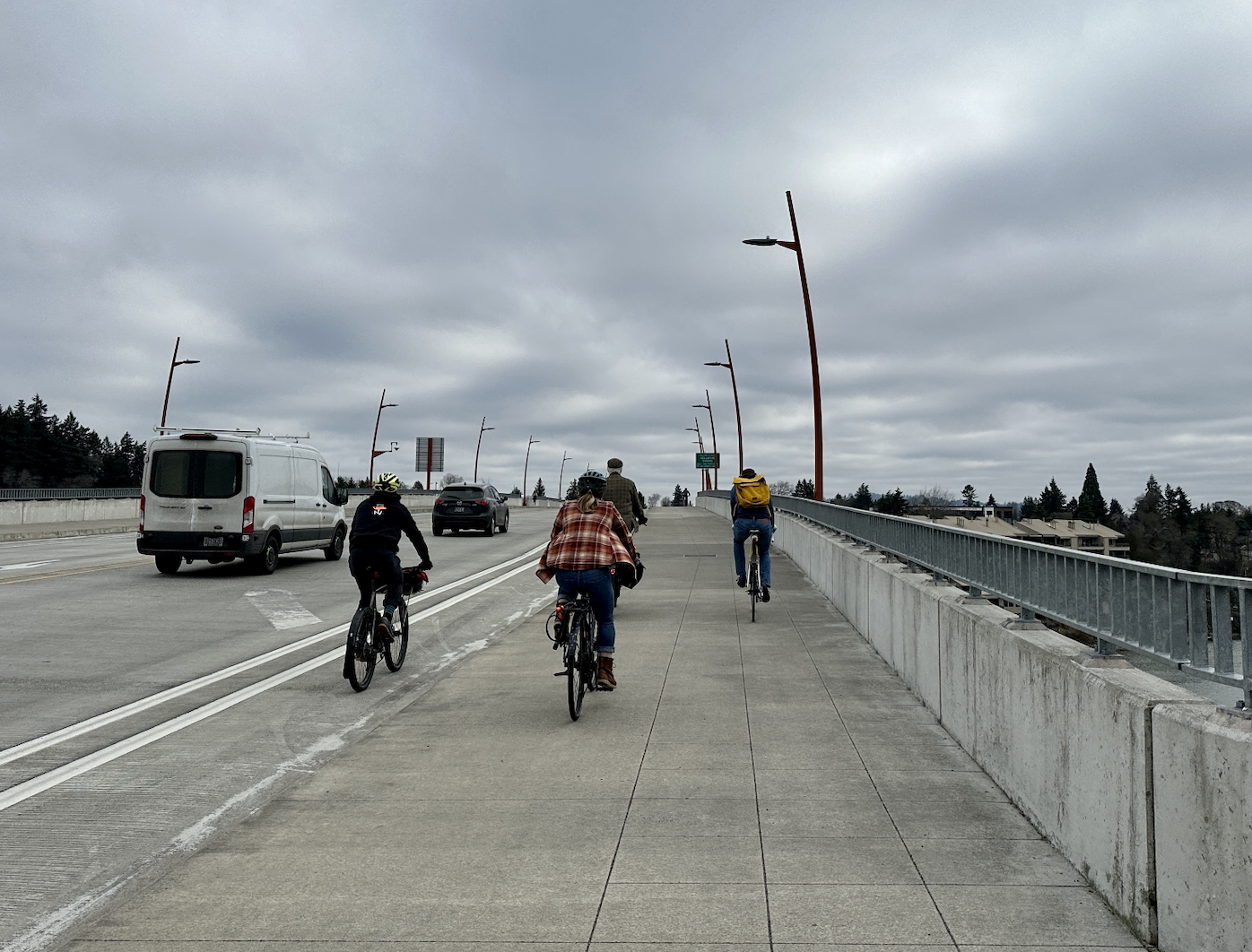

 Scenes from Saturday’s BAC ride. (Photos: Taylor Griggs/BikePortland)
 The route for this BAC ride. (Source: PBOT)
The Bicycle Advisory Committee’s monthly rides are great opportunities to learn about current and planned bike infrastructure. The rides are led by Portland’s Bicycle Coordinator, Roger Geller, who gives an inside look at Portland’s bikeways that few others can offer. They’re open to everyone, and are a great way to discover uncharted routes. On the last ride I accompanied in December, we traversed the new protected bike lanes on SE Division Street and checked out the advisory bike lane in outer NE.
This month, it was time to go south.
Saturday’s ride consisted of about a dozen participants in addition to Geller. There were some members of the BAC in attendance, including Chair Ally Holmqvist and Vice Chair Joseph Perez, as well as several local advocates unaffiliated with the committee. We started the ride at the Salmon Street Fountain downtown and headed south on Better Naito into the South Waterfront area. There’s a lot of new development happening in this part of Portland, which is the most transit-dense area of the city (when you include the aerial tram) and has some of the most sophisticated bike facilities in town.
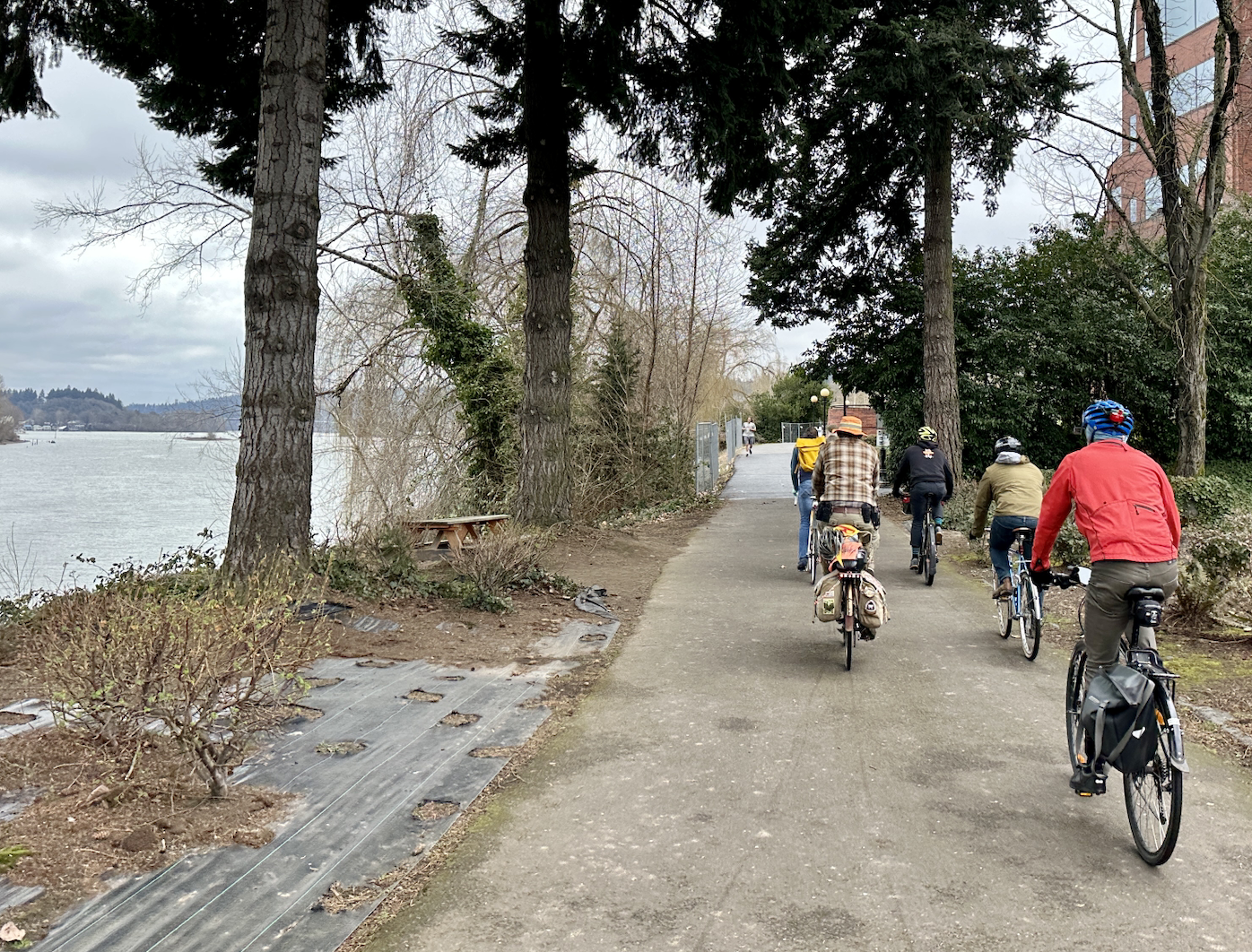
But the network here is disjointed. The green, sidewalk-level bike lanes near the Tilikum Crossing and Oregon Health and Sciences University lower tram terminal end abruptly for people headed west. If you’re heading south, you can pick up the South Waterfront Greenway trail for a bit. That path doesn’t connect to anything, though, making it hard to fully appreciate how nice the trail is.
 The abrupt end to the South Waterfront Greenway.
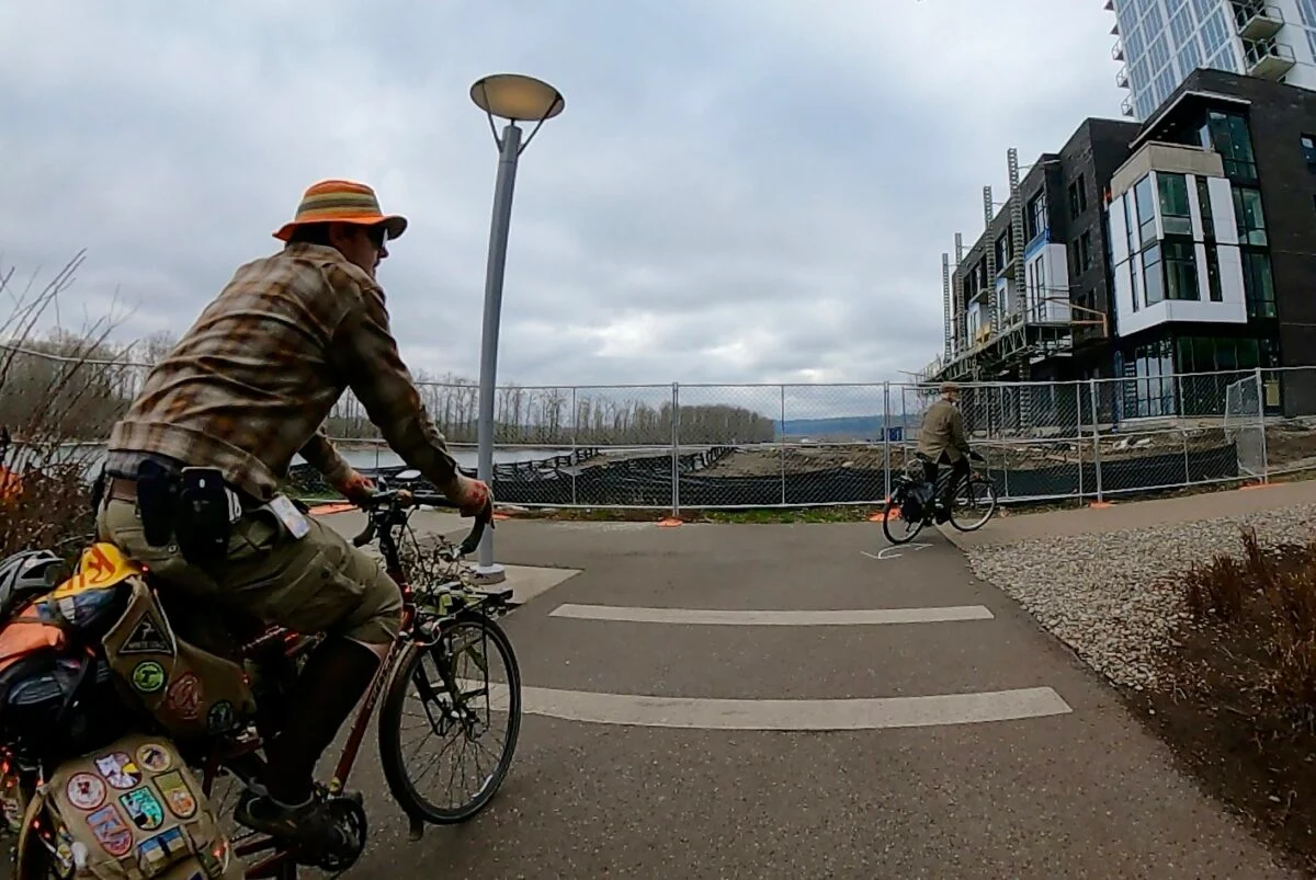
When construction is completed for an apartment complex on the lot between the end of the South Waterfront Greenway and the start of the Willamette Greenway Trail just south of the Old Spaghetti Factory, these two trails will be merged over the current gap. This will be very helpful for people traveling to and from south Portland by bike.
Geller then led us onto the Willamette Greenway Trail, a path with great views of people sailing the river that’s unfortunately hindered by treacherous bumps. We managed to navigate the bumps to the Sellwood Bridge, which is as far as the trail will take you.
I’ve never used the Willamette Greenway before — if I want to go to Sellwood or Milwaukie, I’ll take the better-paved Springwater Corridor Trail on the east side of the river — and I was most intrigued by the train tracks that accompany the path. These tracks are used by the Willamette Shore Trolley, a heritage rail line that travels between Portland and Lake Oswego as a summer attraction.
Last year, I talked to the folks behind a push to bring new life into this trolley line and potentially forge a new, more utilitarian connection between Portland and Lake Oswego. After seeing the largely-unused tracks with my own eyes, I believe something needs to be done here. Let’s bring back the conversation about building a trolley trail along the west bank of the Willamette through Riverdale and Dunthorpe to Lake Oswego.
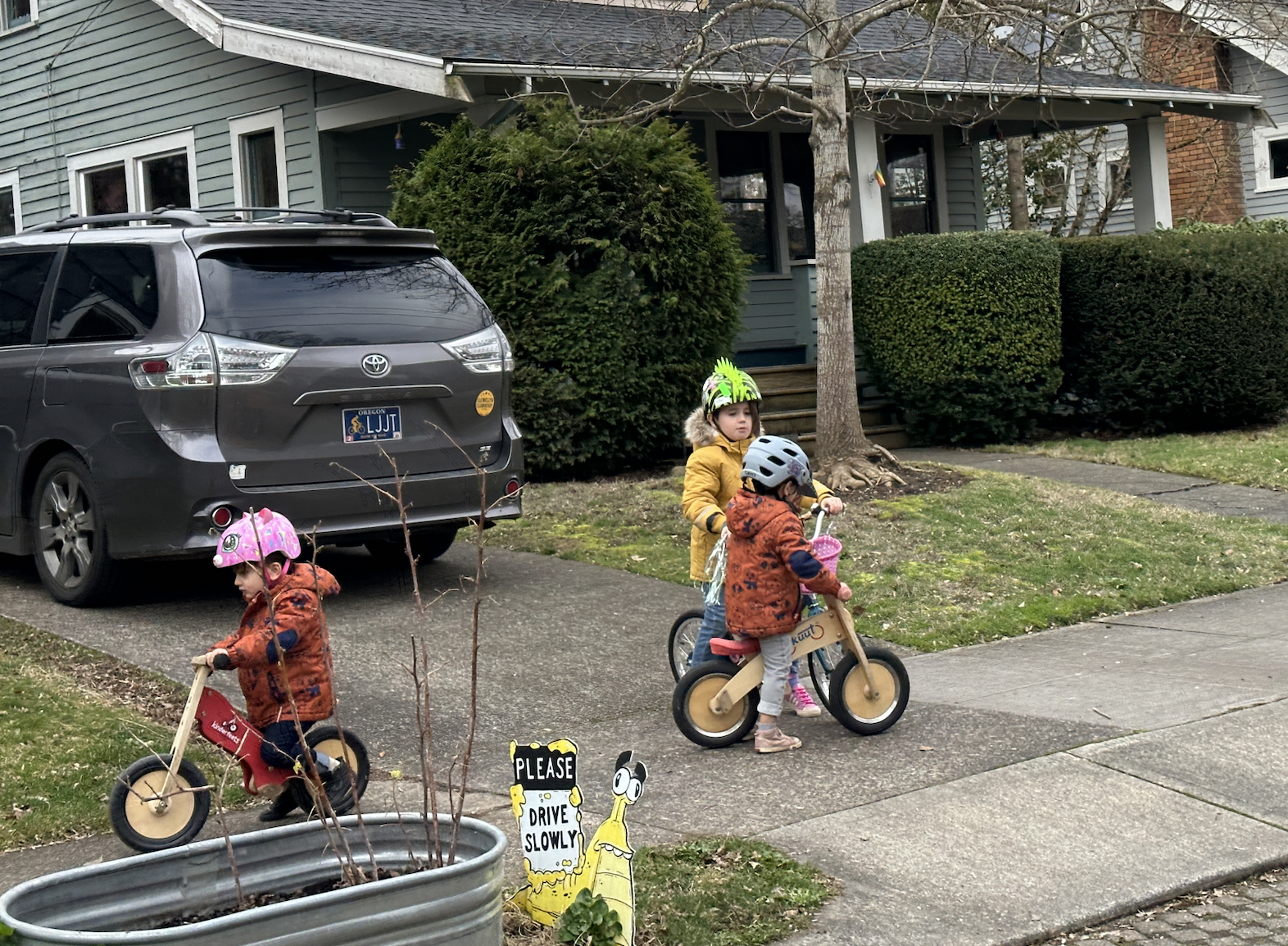 Kids biking on SE 21st Ave.
Geller led us across the Sellwood Bridge to the east side of the river to head back north via the SE 19th Ave neighborhood greenway in Sellwood. The surrounding neighborhood has some great spots — my personal favorite is Piece of Cake, the incredible dessert shop on SE 17th — and is easily accessible by bike by taking the Springwater or via the MAX Orange line. Heading north through the area, it was great to see kids riding their bikes in the neighborhood.
As we made out way through the neighborhood, Geller pointed out another example of Portland’s smorgasbord of street designs: the pervious pavement on a few blocks of street in Sellwood near Westmoreland Park. This permeable pavement captures stormwater through the street surface and into the ground as opposed to in a drain pipe.
These streets in Sellwood received the treatment in 2004 and are the only public streets in the city with this kind of pavement, so clearly the city didn’t think it worked well enough to replicate everywhere.
The ride ended back at the Salmon Street Springs, though I split off early to stay on the east side of the Willamette. Overall, it was an interesting look at some infrastructure I hadn’t seen before. I’m very glad Geller is leading these rides on a monthly basis again. I highly recommend them to anyone who wants an insider look into Portland’s bike infrastructure. Check out the BAC’s webpage for more information. And hope to see you next month!

Taylor has been BikePortland’s staff writer since November 2021. She has also written for Street Roots and Eugene Weekly. Contact her at This email address is being protected from spambots. You need JavaScript enabled to view it.