Cycling News & Blog Articles
The story of SW Hamilton Street and what it says about our progress
[Publisher’s note: With Lisa Caballero’s recent move to Paris, David Stein will step in to be our southwest Portland correspondent. This is his first piece. Welcome David!]
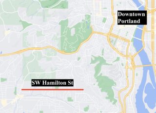
“It feels like someone somewhere has decided that Hamilton isn’t getting sidewalks.” This was uttered after talking with Ryan Bass, a transportation advocate in the Bridlemile neighborhood, about the recent history of work (not) done on SW Hamilton Street between SW Dosch and SW Scholls Ferry Rd.
Because of the hills, lack of bike lanes and little-to-no shoulder space, it’s hard to get around many parts of Southwest Portland without a car. It’s exceedingly expensive to retrofit roads in this part of the city with amenities that other parts of Portland have due to topography and stormwater requirements. Complicating this picture are waivers of remonstrance and an absurd degree of inconsistency by the Portland Bureau of Transportation (PBOT) when it comes to development requirements.
This is the first of a three-part dive into how a single road has managed to simultaneously garner notable attention and fail miserably to capitalize upon it.
First, let’s make sure we all understand the profile of Hamilton between Dosch and Scholls Ferry:
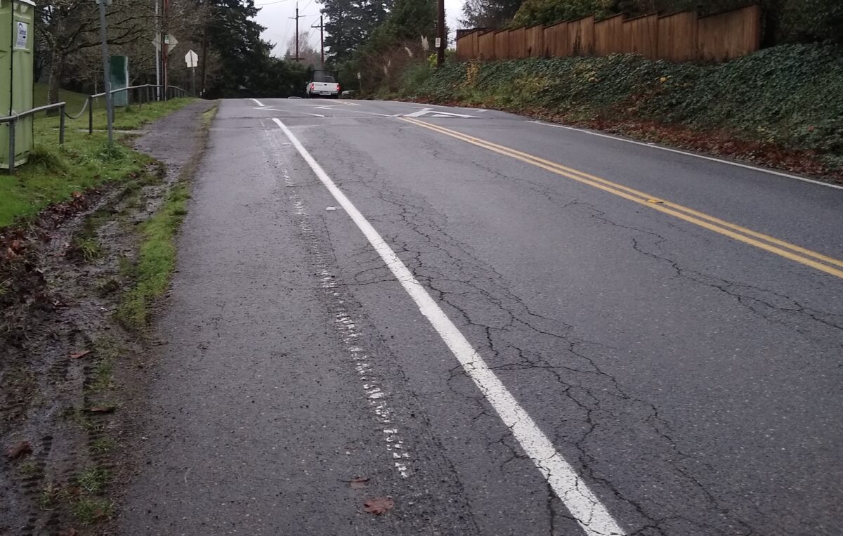
Like many roads in this area it has a 20-26 foot width depending on the exact location. The length of the entire stretch is about 1.66 miles. It’s classified (in PBOT’s Transportation System Plan) as a: City Walkway, City Bikeway, Transit Access Street, Local Service Truck Street, Community Corridor, Neighborhood Collector Street, and Secondary Emergency Response route. Trimet route 55 includes this stretch of road on weekday mornings and afternoons. It also neighbors Bridlemile Elementary and Hamilton Park which are the hubs of the neighborhood. Finally, it’s not flat, the road reaches an elevation of roughly 560 feet on the east end and drops as low as 283 feet though there are several ups and downs along the way making it great for training and rough for anything else.Advertisement
There are two SW Trails (a local walking and hiking network) in the neighborhood. Trail 1 uses Hamilton between 53rd Ave and Fraser Ave, just west of Scholls Ferry Rd. There is a short stretch where Trail 7 jogs from Hamilton Ct west to SW 35th Pl where it continues to the north. While these are signed trails it would be charitable to call them walkable. There are scant shoulders on both stretches of trail and west of 53rd Ave there are multiple hills where visibility drops to dozens of feet due to the topography.
The speed limit is 25 mph, recently lowered from 30 mph. There are also about a dozen speed bumps to slow down vehicles, though like most speed bumps some are more effective than others.
Sidewalks are virtually non-existent on Hamilton. There is a short stretch from (almost) Scholls Ferry to 20 feet east of 63rd, Semler Way has two corners with curb cuts and it continues until just before Selling Ct which doesn’t have a sidewalk on the west side of that street. On the east side of Selling the sidewalk starts up again for maybe ten feet — so if you want to go down the sidestreet that sidewalk could be quite useful. There are three more street corners with a sidewalk, however none actually extend along Hamilton.
This sidewalk coverage is not out of the ordinary however. Based on a June 30th, 2016 PBOT street inventory, Bridlemile had 2.8 miles (9.1%) of sidewalk as of 2015. In contrast, 5.9 miles were paved without curbs. The sidewalk coverage was 9th lowest in the city. Of the eight neighborhoods with a lower percentage of sidewalks, six were also in southwest Portland and the other two were in northwest (Forest Park, Sylvan-Highlands).
People ride bicycles on Hamilton as part of their commute during the week. On weekends you are likely to see people doing training rides on their way to or from Council Crest or the Fairmount loop. Hamilton is more direct than Patton to the north and has considerably less traffic than Beaverton-Hillsdale Hwy (one of Portland’s 20 High Crash Corridors).
Walking and running are slightly less popular on this road. Parents will escort kids on or across the road to and from school though it’s rare to see older kids using the road except to wait for a school bus.
Traffic counts from November 2020 at Hamilton and 47th Ave show about 1,400 cars being driven on the road.
Now that I’ve set the scene, the next article will dive into a couple of projects that improved conditions for vulnerable road users while leaving critical gaps to access.
David is a guest writer based out of SW Portland. He has been a regular bike commuter since 2012 (until COVID). While David is currently Chairperson of the Portland Bicycle Advisory Committee all opinions are his own and do not reflect the feelings or position of the BAC. Contact him at This email address is being protected from spambots. You need JavaScript enabled to view it.


